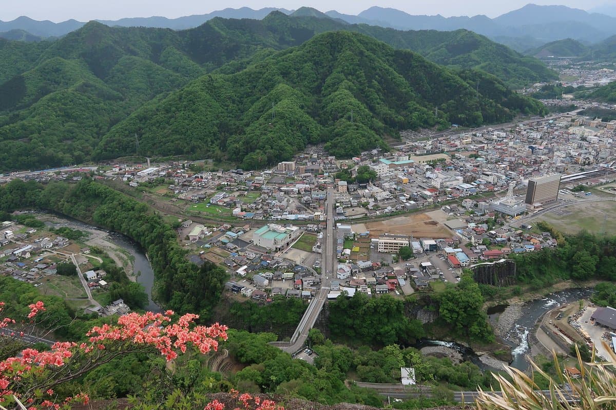
Mount Iwadono, located in Otsuki City, is a notable peak for hikers in Japan, known for its challenging trails and panoramic views. Standing at 634 meters, it offers a strenuous climb that rewards visitors with expansive vistas, particularly beautiful during the cherry blossom season in spring. Its reputation as a 'famous mountain' among climbers ensures well-maintained paths, even with the technical sections.
Visitors consistently highlight the adventurous nature of the hike, with several reviewers mentioning sections requiring the use of ropes, chains, and even ladder rungs on boulders. The exhilaration of reaching the summit and the stunning views are frequently praised, making the effort worthwhile for those seeking an active outdoor experience. While the trails are generally well-maintained, the presence of these challenging elements means hikers should be prepared for a physically demanding ascent and descent.
For a comfortable and safe hike, it is crucial to wear appropriate hiking boots with good grip, as some sections can be slippery. Bringing enough water and snacks is also advisable, especially if you plan to undertake the full hike, which can extend to 15 miles. The best time to visit is in spring to enjoy the cherry blossoms, though the mountain is accessible year-round. Allow at least 2-3 hours for the ascent and descent, not including travel time to the trailhead. There is a pavilion near the summit for taking a break.
Mount Iwadono is conveniently accessible from Otsuki Station. Reviewers indicate a walk of approximately 30 minutes from Otsuki Station to the Hatakura trailhead. Otsuki Station is a major railway hub, making it easily reachable by train from larger cities. While specific bus routes to the trailhead are not frequently mentioned in reviews, the walking distance from the station suggests it's a viable option for those relying on public transport.
A common point to be aware of is the potential for bad weather, which can significantly impact visibility and trail conditions. One reviewer noted being unable to enjoy the full views due to poor weather. To mitigate this, check the local weather forecast before heading out and consider rescheduling if adverse conditions are predicted. The steep and technical sections can become more hazardous in rain or fog.