Mt. Amagi, located on the Izu Peninsula in Shizuoka Prefecture, is a significant natural landmark known for its lush forests, diverse flora, and challenging hiking trails. It holds a place in local folklore and offers a serene environment away from urban centers, attracting visitors seeking outdoor adventure and natural beauty.
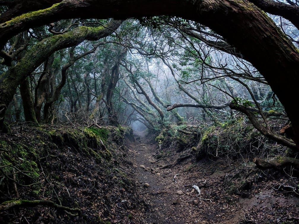
Visitors consistently praise the mountain's pristine natural environment and the rewarding experience of its hiking routes. The trails are generally well-maintained, providing an immersive experience through dense forests and offering occasional scenic overlooks. Reviewers often highlight the sense of tranquility and the opportunity to connect with nature, making it a favored spot for those looking to escape the bustle of city life.
For a comfortable hike, it is advisable to wear sturdy hiking boots, bring sufficient water, and pack snacks. Depending on the season, insect repellent might be necessary. The best time to visit is during spring or autumn when the weather is mild and the scenery is particularly vibrant with blooming flowers or colorful foliage. A typical visit, including hiking, can range from 3 to 6 hours, depending on the chosen trail and pace. It is recommended to start early in the morning to avoid crowds and allow ample time before sunset.
Reaching Mt. Amagi typically involves a combination of train and bus. From major cities like Tokyo, take the JR Tokaido Line or Shinkansen to Atami or Mishima Station, then transfer to the Izu Kyuko Line to Kawazu Station. From Kawazu, local buses operate towards the Amagi Pass area, which serves as a starting point for many trails. Driving is also an option, with parking available near some trailheads, though spaces can be limited during peak seasons. Always check bus schedules in advance, as services can be infrequent.
A common complaint, particularly for less experienced hikers, is the varying difficulty of the trails; some routes can be quite strenuous. To mitigate this, it is crucial to research specific trails beforehand and choose one that matches your fitness level. Additionally, some visitors note the limited availability of English signage on certain routes, so having a map or a translation app can be helpful.