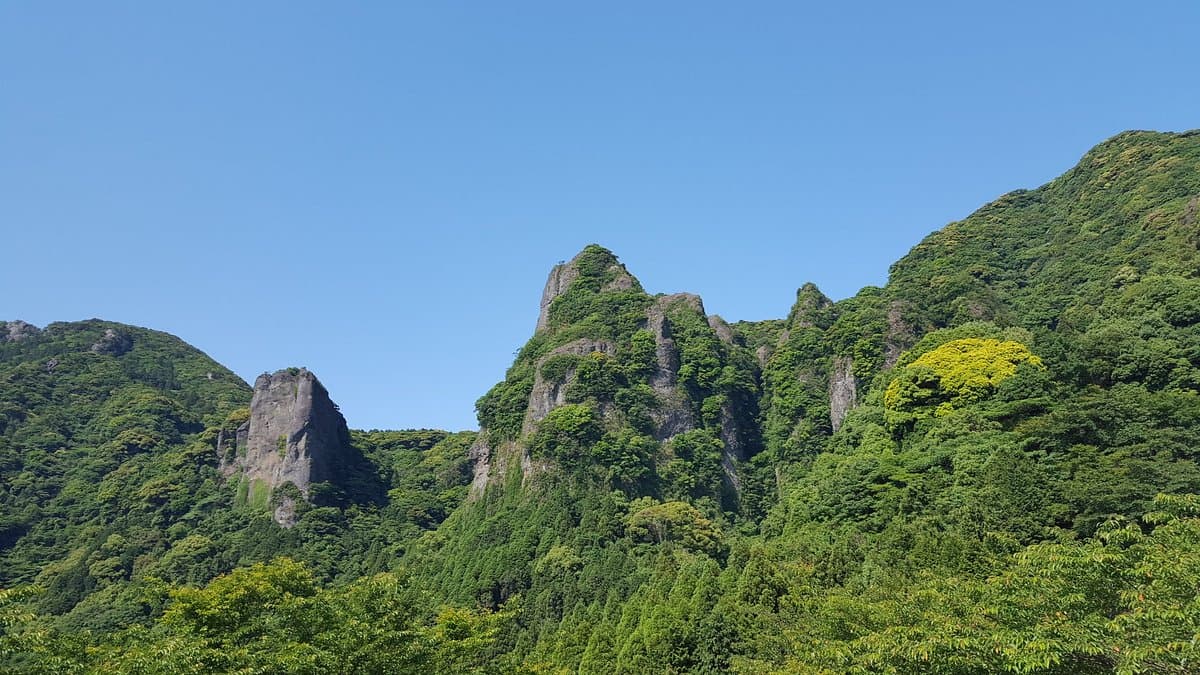
Mt. Kurokami, located in the Saga Prefecture, is a notable natural landmark offering a refreshing hiking experience. It's particularly appealing for those seeking outdoor activities and scenic views away from urban centers, providing a contrast to the region's famous pottery towns.
Visitors consistently praise the natural beauty and tranquility of the area, highlighting the enjoyable trails and the peaceful atmosphere. Reviewers often mention the satisfaction of exploring the rocky terrain and the lush surroundings. The presence of the Ryumon Dam and Gorge adds to the scenic appeal, with some trails leading directly to these features. The area is also noted for its bird songs, contributing to a serene hiking environment.
For a rewarding visit, it's recommended to allocate a few hours, ideally in the morning or late afternoon to avoid the midday sun, especially during warmer months. Bringing plenty of water, sturdy hiking shoes, and perhaps some snacks is advisable. While the trails are generally well-maintained, some sections can be rocky, so appropriate footwear is crucial. There are campgrounds available for those wishing to extend their stay, and a short hike can lead to cabins.
To reach Mt. Kurokami, most visitors drive. Set your navigation system for Ryumonkyo Gorge or Ryumon Dam. From Arita, take the road towards Ryumon Dam. Parking is available at the far end near the dam/gorge. The trailhead itself can be a bit hidden, often found a couple of hundred feet behind the main parking lot. Public transport options are limited, so a rental car is highly recommended for accessibility.
A common challenge mentioned by visitors is the difficulty in obtaining detailed information about the trails, even at local tourist information centers. It's best to arrive prepared with a general idea of the area or a map if possible. While the trails are generally enjoyable, the initial search for the trailhead might require a bit of exploration.