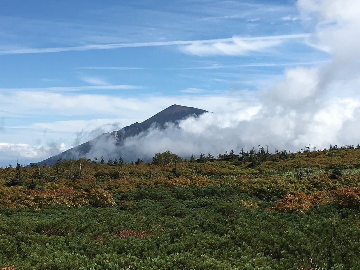
Mt. Iwate, often referred to as the 'Fuji of the North,' is an active stratovolcano and the highest peak in Iwate Prefecture. It holds significant cultural importance, having inspired renowned Japanese literary figures like Kenji Miyazawa and Takuboku Ishikawa. For nature enthusiasts and hikers, it represents a formidable challenge and a chance to connect with the raw beauty of the Tohoku region.
Visitors consistently praise the well-maintained trails and the sense of accomplishment after reaching the summit. Many highlight the beautiful views, especially at sunrise, which can be experienced by staying overnight in a mountain hut. However, it's crucial to understand that this is an extremely challenging hike, not a leisurely stroll. Reviewers frequently warn that the ascent is strenuous and requires good physical condition. For those interested in winter sports, the area is noted for its excellent snow quality and long runs, attracting skiers looking for less crowded slopes.
To make the most of your visit, plan for a full day if you intend to hike to the summit. Bring plenty of water, snacks, and appropriate hiking gear, including sturdy boots and layers of clothing, as weather conditions can change rapidly. While some trails are suitable for day trips, longer routes, such as the one from Amihari, might necessitate an overnight stay in a cabin near the top. Be prepared for trail signs predominantly in Japanese, which can make navigation challenging for non-Japanese speakers; a map or a translation app could be beneficial. For skiers, be aware that it can get very cold when the wind picks up.
Getting to Mt. Iwate is feasible even without a car from Morioka, the nearest major city. Reviewers mention that it's possible to take public transport, though a taxi might be needed for the final leg to some trailheads. Specific bus routes or train lines are not detailed in reviews, but Morioka Station would be the primary hub for onward travel. It's advisable to research local bus schedules to the specific trailhead you plan to use.
A common complaint among non-Japanese speaking hikers is the lack of English signage, which can lead to confusion or getting lost. To mitigate this, download offline maps, learn basic Japanese phrases for directions, or consider joining a guided hike if available. Also, some visitors might underestimate the difficulty of the hike; ensure you are physically prepared and have adequate supplies to avoid exhaustion or discomfort.